It is the initial characterization of the site — water, sediments, benthic fauna and habitats — that serves as the reference for the environmental impact assessment and for subsequent project monitoring.
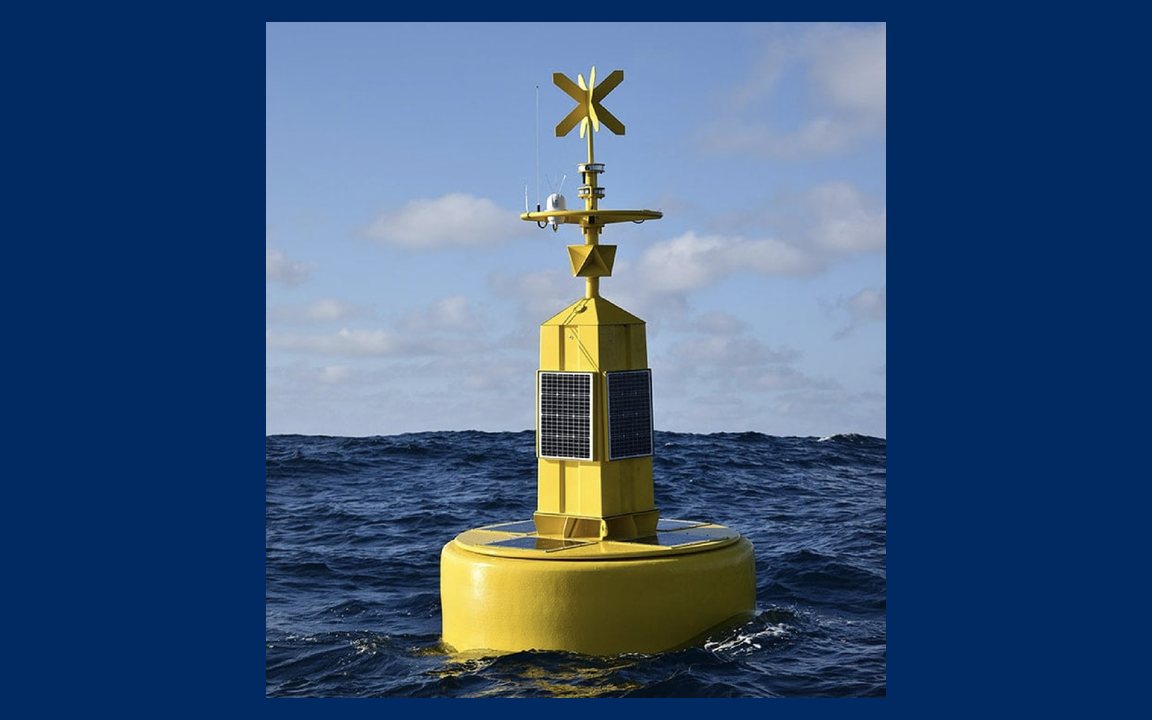
The measurement and modeling of wind, waves and currents to obtain design parameters and plan operational windows; they include numerical ocean modeling and oil spill modeling.
A comprehensive report with field data, laboratory results, analysis and conclusions, ready to support engineering design or regulatory filings.
Tell us about your scope, location and timeline. We respond within one business day.